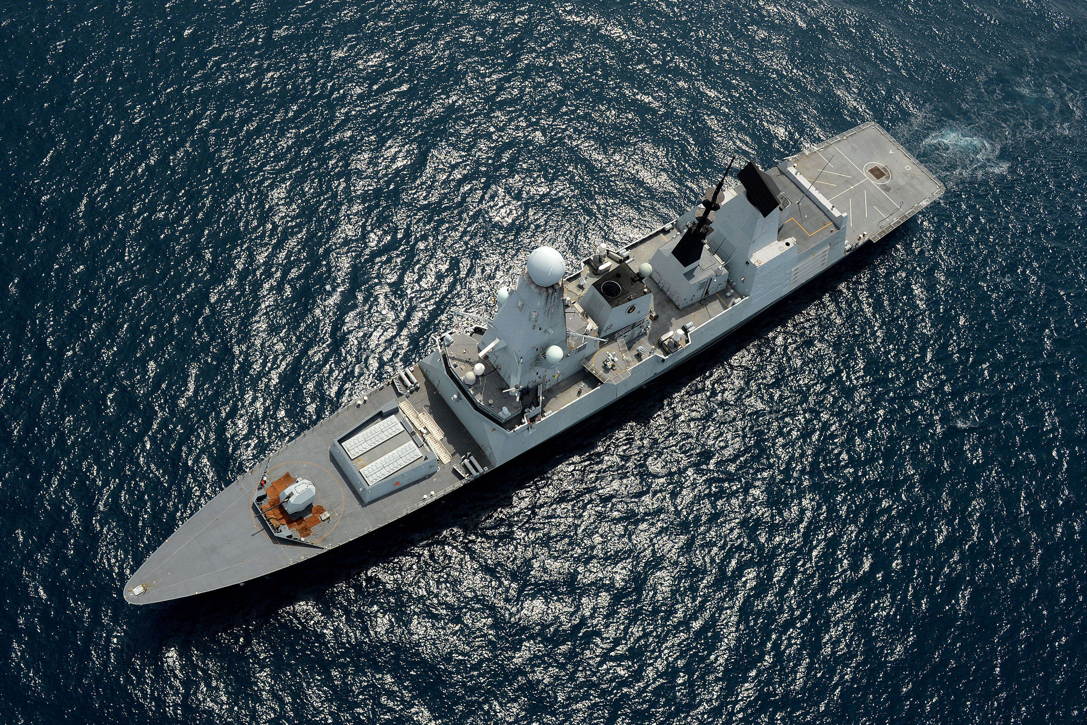
Sea4D for Defence and Security
Sea4D for assured maritime operations.
For naval surface fleets, USV operators, coastguards, port security and search and rescue. A sovereign UK capability, interoperable with NATO and allied forces.
The Scale
510%
increase in vessels affected by GPS jamming across 2025.
Windward, 2025.
The Answer
ALL-CONDITION DETECTION
Small, low and fast contacts held in sea clutter, in darkness and in fog, classified and logged.
GNSS-DENIED NAVIGATION
Position integrity maintained when GNSS is denied, and navigation continues.
MEASURED SEA STATE
The operational envelope from measured sea state at the point of work.
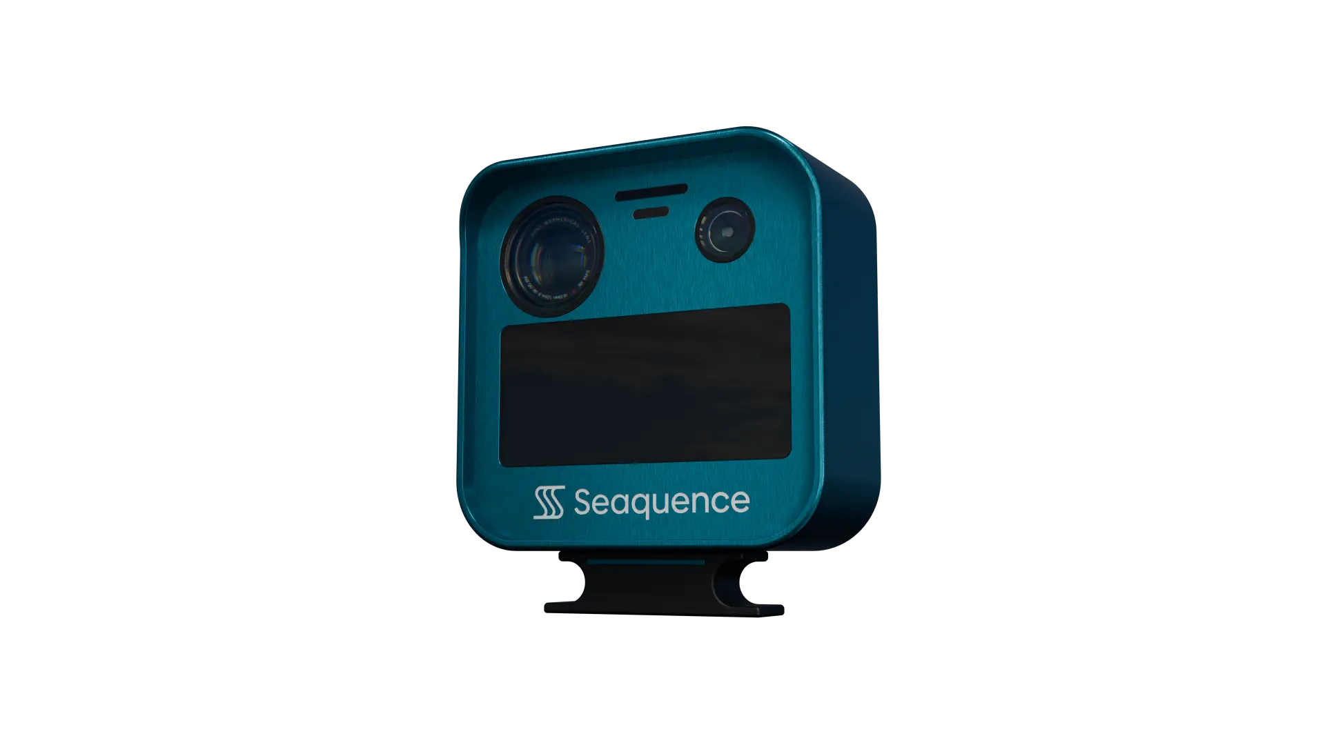
The contact picture, measured sea state and position integrity, logged and auditable, from one unit.
Next Step
Run Sea4D on your operation.
Book a 30-minute brief and we will scope a pilot for your vessels or infrastructure.