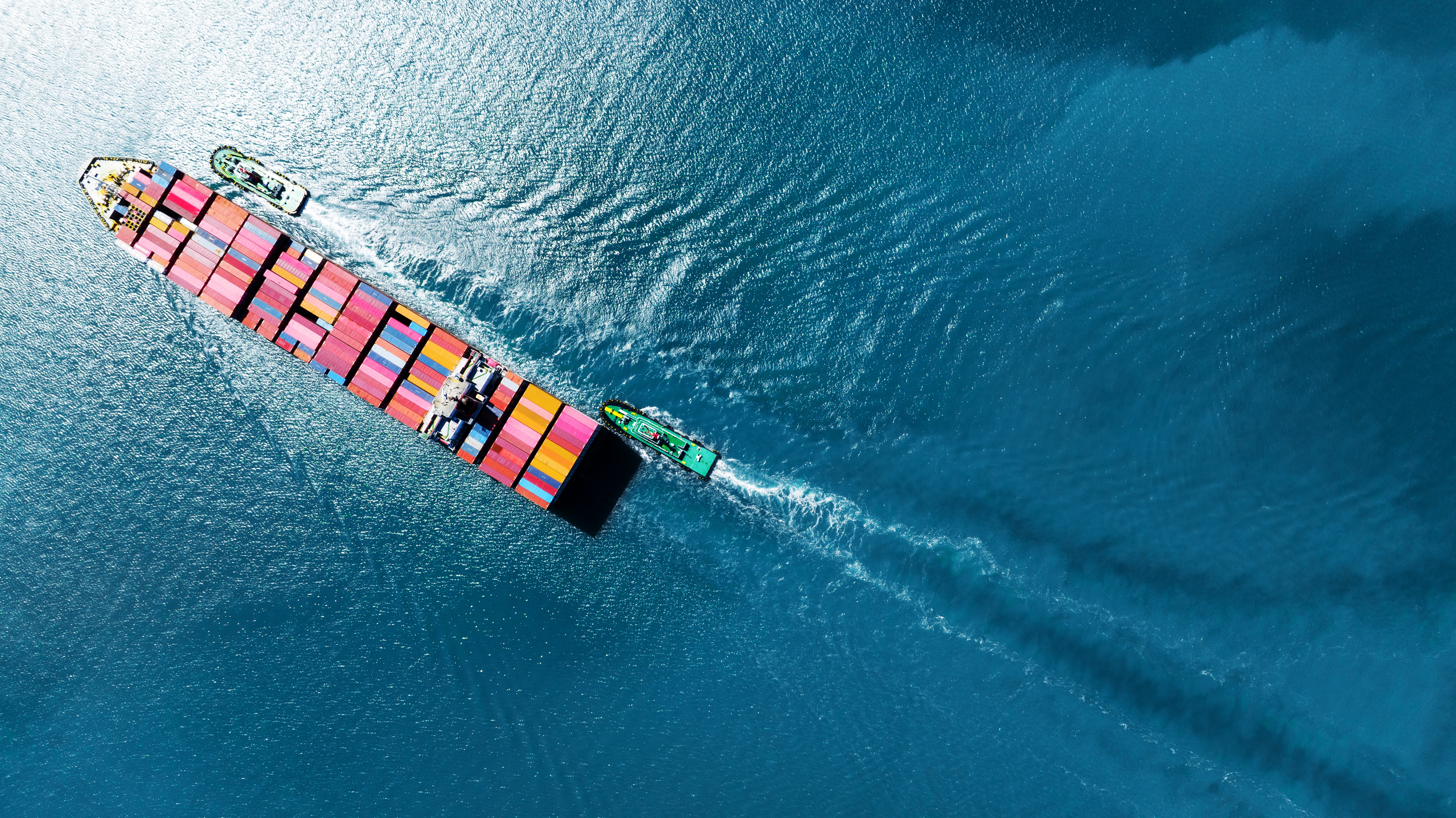
Sea4D for Shipping
Sea4D for the commercial fleet.
Vessel agnostic across every size and class: container, tanker, bulk, ro-ro, cruise and ferry, offshore support and workboats, worldwide.
The Scale
80%
of global trade by volume moves by sea.
UNCTAD, Review of Maritime Transport.
The Answer
OPTIMAL CTS
Voyage routing and trim on measured sea state ahead, with fuel savings carried into auditable CII evidence.
AI OBJECT ID
The contact picture in all conditions: vessels, small craft and persons in the water, tracked and logged.
GNSS-DENIED NAV
Position integrity maintained when GNSS is denied, and navigation continues.
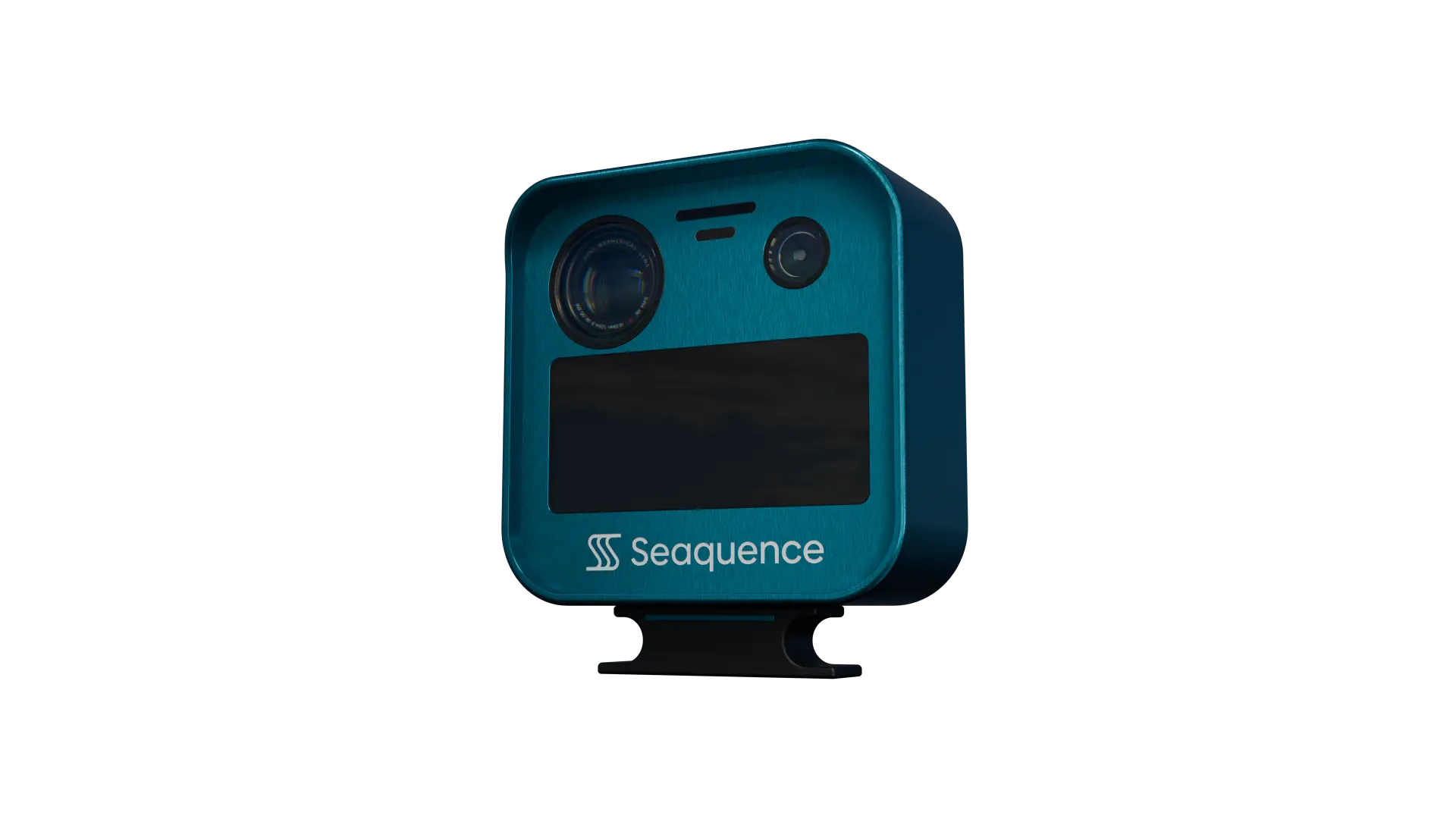
Every record supports the operator's risk assessment under the ISM Code: measured sea state, the full contact picture and position integrity, logged for audit, vetting and charterer assurance.
BY VESSEL CLASS
One platform for every vessel size and class.
01
CRUISE AND PASSENGER
US law requires cruise vessels to integrate man overboard detection technology where available (CVSSA); ISO 21195 sets the performance standard. Sea4D holds a person in the water against the sea around them, confirmed by thermal at 0.5 to 1 km, day or night, through fog, spray and darkness.
02
FERRIES AND RO-PAX
Ferries run high-frequency crossings in mixed traffic. Sea4D tracks small craft at 1.5 to 3 km through glare, rain and darkness, on every rotation, so schedules hold and crossings stay safe.
03
TANKERS AND CHOKEPOINTS
GNSS jamming and spoofing cluster around straits and terminals. Sea4D catches interference in seconds and keeps navigating, protecting schedules and ship-to-ship operations.
04
TUGS AND HARBOUR WORK
Tugs manoeuvre close aboard among workboats and small craft, often in marginal conditions. Sea4D holds one live picture of everything moving and measures the sea state at the point of work, so close-quarters decisions and marginal jobs both run on measurement.
05
PORT OPERATIONS AND PILOTAGE
Port approaches, pilot boarding and berthing all happen in dense mixed traffic. Sea4D detects, tracks and logs every movement, and measures the sea state at the pilot boarding ground, so transfer windows are called on measurement and the evidence is ready for VTS and incident review.
06
READY FOR AUTONOMY
Autonomous and lean-crewed operations need perception that works when cameras cannot. Radar-first fusion and GNSS-independent positioning give MASS operations their sensing layer, today.
Projected production-unit figures; verification in production trials.
Standards
IMO CII
EU ETS
FuelEU Maritime
MASS Code aligned
Sea4D is a watchkeeping aid that supports compliance, it is not a SOLAS type-approved navigation device.
OPTIMAL CTS
Next Step
Run Sea4D on your operation.
Book a 30-minute brief and we will scope a pilot for your vessels or infrastructure.