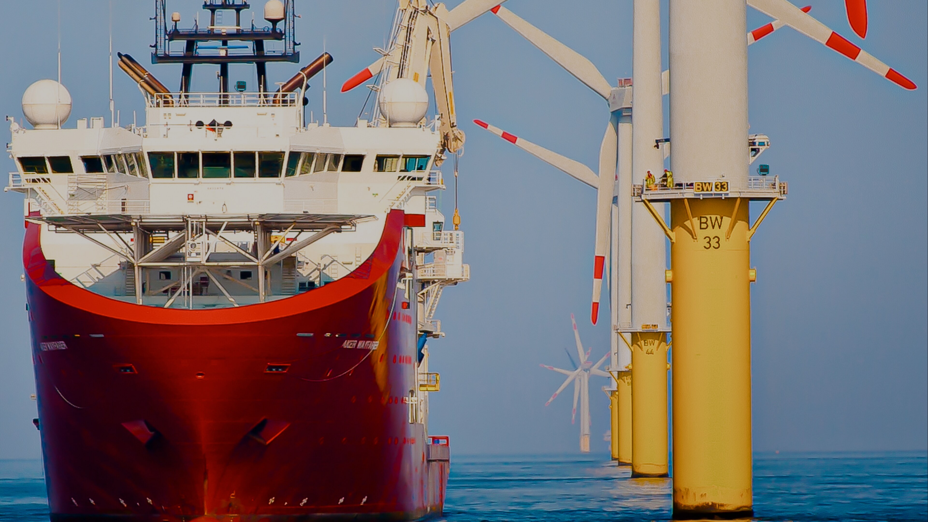
RADAR-FIRST OCEAN SENSING.
Work with the Ocean.
Sea4D: Active AI Awareness for the Ocean. One multifunction unit deploys to vessel, infrastructure or task equipment.
Sensor fusion led by imaging radar gives Ocean industries foresight: it measures the sea state, detects every contact and maintains position integrity when GNSS (GPS) is denied, for safer, more efficient and compliant marine operations.
Built for Ocean Energy, Ocean Infrastructure, Global Shipping and Defence & Security.
Demand on the Ocean has never been higher.
Every Ocean industry is expanding to meet it.
Every Ocean industry is expanding to meet it.
Every vessel class and every offshore infrastructure project is missing the same three measurements: the sea state ahead, every contact in its close operational domain, and position integrity.
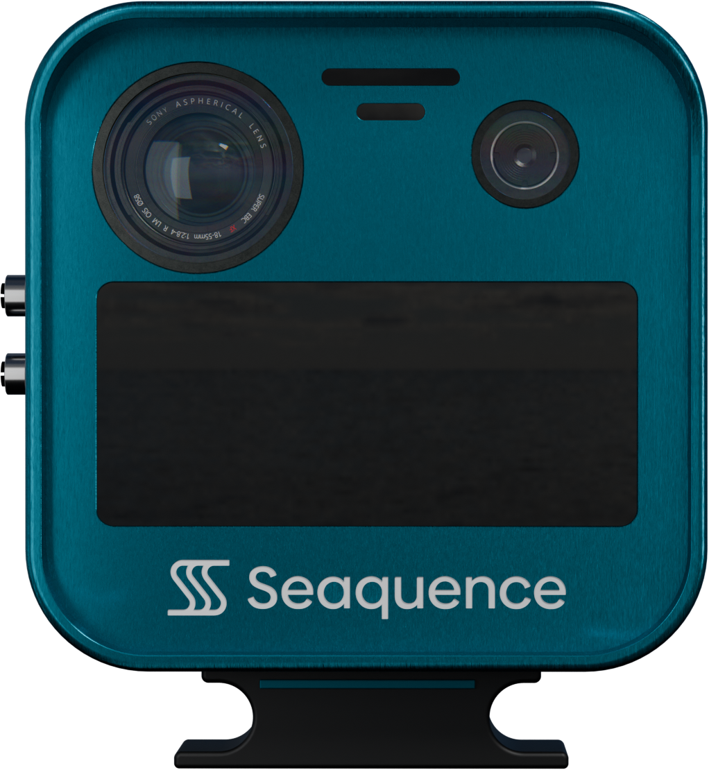
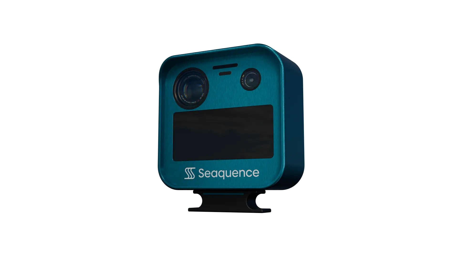
Sea4D. One Platform to Work with the Ocean.
Sea4D. One Platform to Work with the Ocean.
| Capability | Function | Outcome |
|---|---|---|
| WAVE FIELD | Directional wave field. Processed on the unit at 10 Hz from one 77 GHz radar. | Enables operational windows, wave-aware routing, and fuel savings. Images the sea surface in 4 cm detail, 200 times finer than conventional marine radar. |
| GNSS-DENIED NAV | Position integrity when GNSS is denied. Continuous independent cross-check at 10 Hz. | Enables continuous navigation through jamming, spoofing, and signal loss. Spoofing caught in seconds, not scans. 25 times faster than conventional rotating radar. |
| WORKABILITY | Relative motion at the transfer point. AI predicts 1-30 seconds ahead from live sea state. | Enables uptime, fewer cancellations, and audit-ready warranty records. A world-first traffic-light go/no-go drawn from measured sea state. |
| OPTIMAL CTS | AI route optimisation against live wave fields. Forecast corrected in real time. | Enables 2-5% fuel saved per voyage, from a 7-13.5% waste pool (DNV 2025), lower emissions, and IMO CII compliance. Course corrected against measured sea state, not forecast alone. |
| AI OBJECT ID | Radar-first sensor fusion. Radar leads, AI identifies every track and the camera confirms. | Enables all-weather detection through fog, spray and darkness. 80 to 95% of sea clutter rejected. Radar leads because maritime conditions degrade cameras long before they degrade radar. |
We built the SCORE framework to make sure Sea4D answers them:
Every Sea4D capability earns its place against all five before we build it, and proves itself in service.
Sea4D Technology Built to Work with the Ocean.
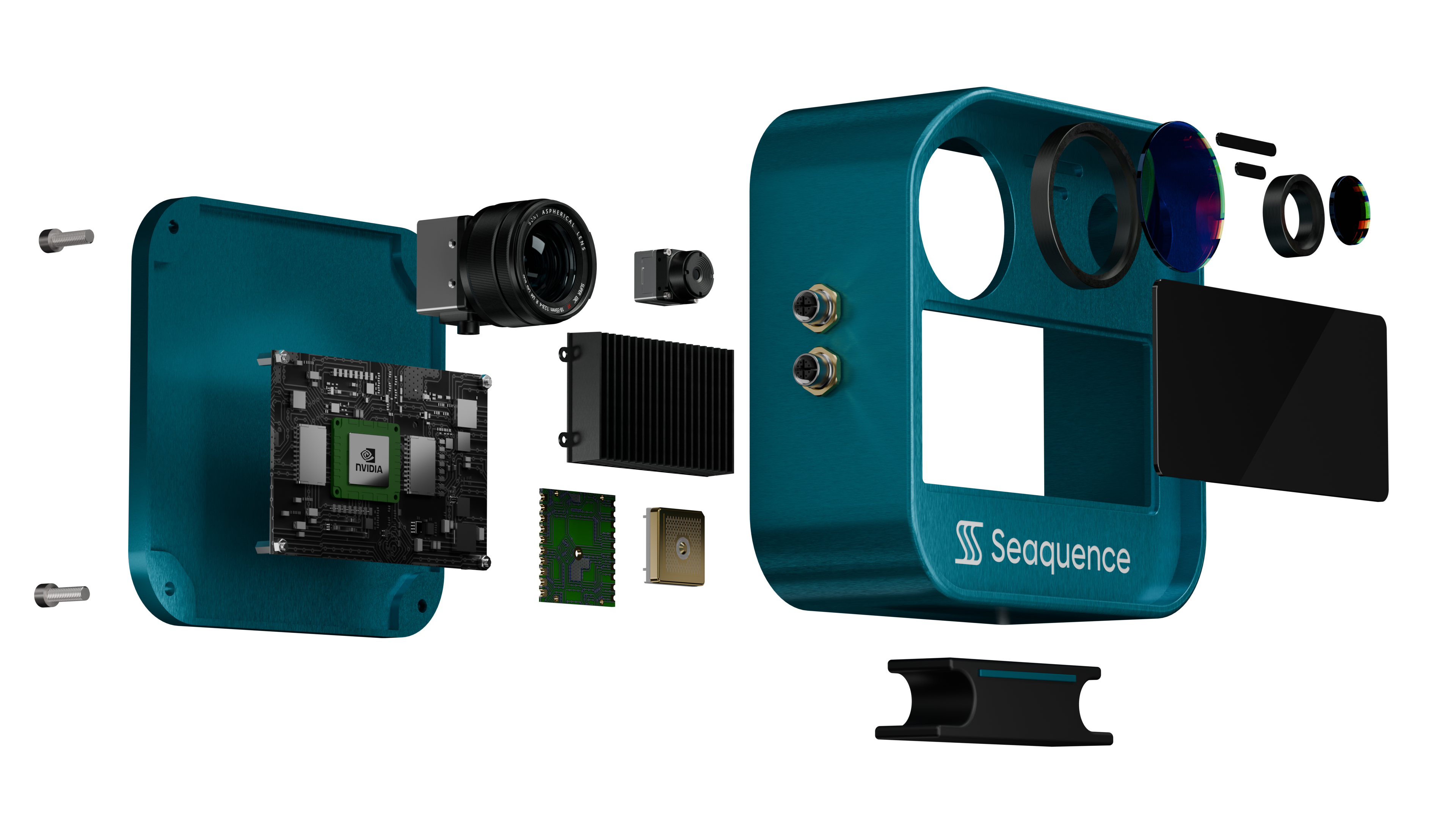
A conventional marine radar displays the echo and processes it no further. Sea4D runs continuous classification across the whole radar picture, ten times a second. That workload needs a GPU rather than a signal processor, which is why the unit carries the compute it does, and why new capability arrives as a software update rather than new hardware.
Conventional marine radar applies a detection threshold to the echo and displays what survives it. A person in the water, a RIB or a piece of floating debris inside sea clutter does not survive that threshold, which is why they are missed. Sea4D holds them, and returns the directional wave field from the same unit at the same time. The detection ranges below are what that means in practice.
Perception models are trained on Seaquence's growing maritime dataset and deployed to the installed fleet in software. Every unit is designed to improve through its service life; a conventional scanner's performance is fixed at manufacture.
Wave field measurement, contact detection and GNSS integrity monitoring run as software on the same on-board computer; the GPU carries them with headroom to spare.
New capability arrives as a software update: task-specific detection models deploy to the same unit, from a protected-species watch on a wind farm to a defined object class on a defence tasking.
The result is the wave field, the contact picture and GNSS integrity from one unit, in under 100 ms.
Detection ranges hold in every condition.
Projected production-unit figures, from engineering research on the purpose-designed maritime antenna. Mounted on a vessel or on a structure, one Sea4D unit detects:
Cameras fail in fog, spray and darkness, and AIS shows only vessels that choose to transmit. Sea4D holds these detection ranges in every condition. A 500 m safety zone sits entirely within a single unit's detection ranges.
Radar leads, AI identifies every track and the camera confirms.
Sea4D does not replace SOLAS radar. It does what camera aids cannot.
Sea4D: one platform for all vessels and Ocean infrastructure.