On the Vessel
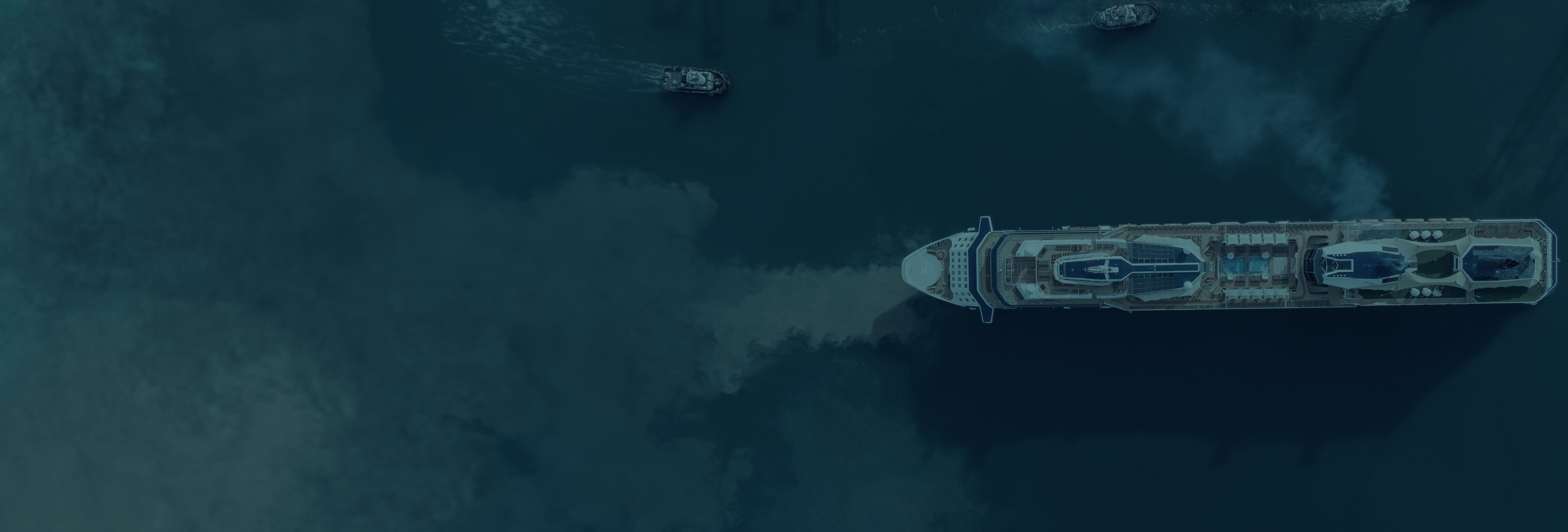
Sea4D on the vessel.
One unit, mounted to suit the vessel: radar, thermal, GNSS (GPS), IMU and AIS in a single enclosure. Permanently installed, powered from the vessel, operating in every condition the vessel meets.
On the Vessel
Sea4D on the vessel.
One unit, mounted to suit the vessel: radar, thermal, GNSS (GPS), IMU and AIS in a single enclosure. Permanently installed, powered from the vessel, operating in every condition the vessel meets.
Installation
Mount
Mounting position to suit the vessel and the operation, with a clear view ahead; 120° field of view per unit.
Power
Under 65 W, from the vessel's supply.
Integration
Outputs to the bridge display and the vessel's systems; AIS and GNSS feeds fused on the unit.
What It Enables
Foresight
Measured sea state ahead on the Foresight display.
Optimal CTS
Voyage routing and vessel trim against measured sea state.
4D Forecast
Sea state prediction at the vessel, seconds to minutes ahead.
A Voyage with Sea4D
01
Departure, in fog
Leaving port in fog and heavy traffic, Sea4D holds the picture: large vessels tracked at 5 to 8 km, small craft at 1.5 to 3 km, persons in the water at 0.5 to 1 km with thermal. The watch acts early, not late.
02
Open water
Forecast-only routing wastes 7-13.5% of fuel (DNV 2025). Sea4D measures the sea state at the point of work and feeds Optimal CTS, recovering 2-5% of fuel per voyage, logged and auditable.
03
Contested waters
Approaching the strait, GNSS is jammed and spoofed. Sea4D catches it in seconds and navigates by radar odometry, independent of satellites. The passage keeps its schedule.
04
Arrival
Alongside with an audit-ready record: sea state, contacts, near misses and fuel performance, evidenced for CII, EU ETS and insurers.
A worked passage showing Sea4D's operating envelope. Projected production-unit figures; verification in production trials.
Next Step
Run Sea4D on your vessel.
Book a 30-minute brief and we will scope a pilot for your vessels.