← All sectors
Sea4D for Ocean Infrastructure

Sea4D for critical Ocean infrastructure.

For offshore wind, platforms, ports and grid interconnectors.

The Scale
368,000 km²

of ocean surface under human infrastructure and its safety zones by 2050.
DNV, Ocean's Future to 2050.
The Problem Here
Conventional radar, cameras and AIS cannot provide them:
SEA STATE
Forecast rather than measured at the asset. Access, lifts and inspection windows all wait on the call.
15%
of working days lost to forecast calls
ORE Catapult and University of Strathclyde.
COLLISION RISK
Managed by visual and radar watchkeeping. Collision at sea and allision with infrastructure share the same cause.
58%
of near-misses involve undetected targets
NorthStandard, 2024.
POSITION INTEGRITY
Reliant on continuous GNSS (GPS). DP station-keeping, gangway connections and zone monitoring all depend on it.
13,000
vessels affected by GPS jamming in a single quarter of 2025
Windward.
The Answer
ZONE WATCH
Approaches, safety zones and every movement monitored 24/7, with the MGN 654 evidence record from one unit.
SEA STATE AT THE ASSET
Measured at the point of work rather than forecast, giving workability and transfer windows.
VERIFIED PICTURE
A measured contact picture independent of what vessels broadcast, with GNSS interference detected within the site's domain.

Every record supports the operator's ALARP demonstration: measured sea state, the full contact picture and position integrity, logged as evidence for risk assessment and review.

The Safety Zone

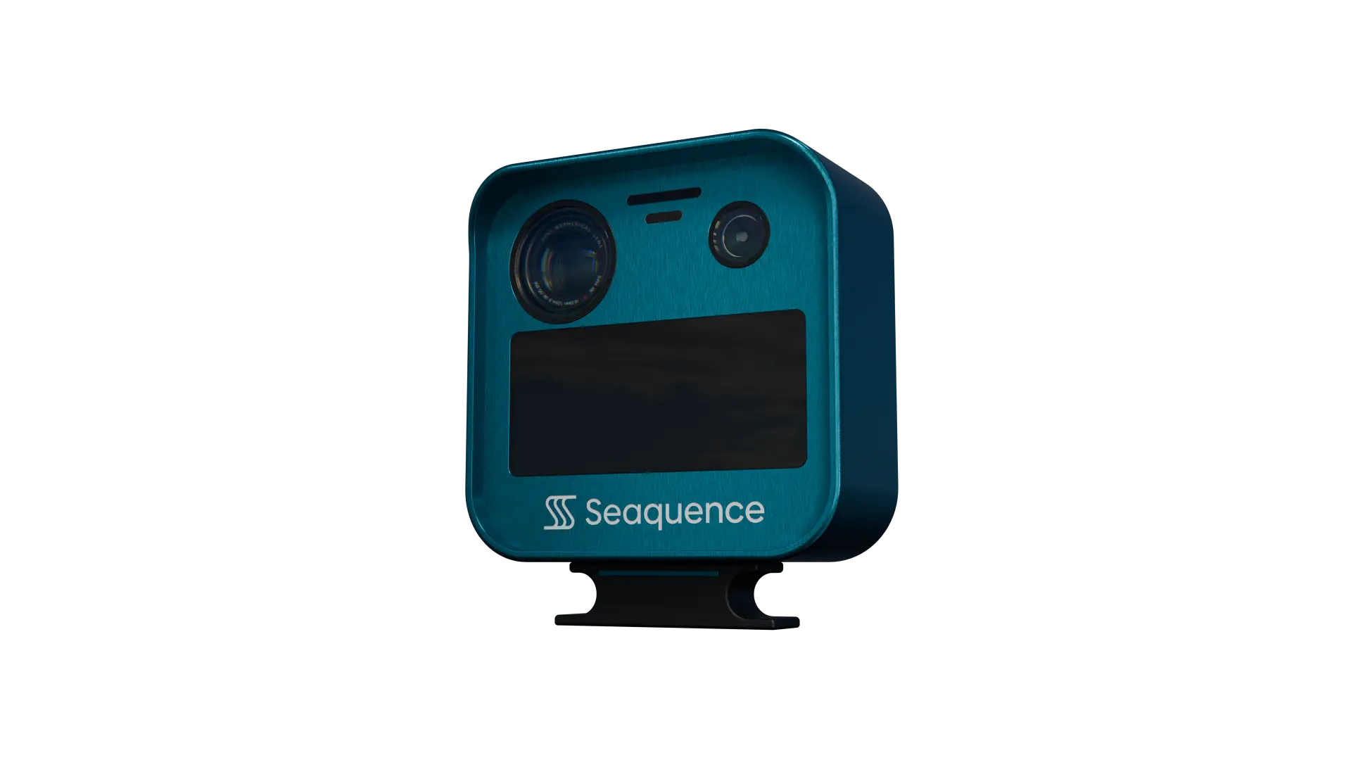
Around oil and gas installations, a 500 m safety zone applies automatically, including mobile installations on station. Around offshore renewable installations, zones of up to 500 m are declared for construction, major maintenance and decommissioning, with 50 m zones in operation, and working vessels are given advisory clearances through Notices to Mariners. Sea4D monitors the zone from the structure or the vessel: approaches, infringements and the sea state, logged as the operator's record, with units combined for full-zone coverage.

The Market

What the built Ocean runs on.

By 2050, 368,000 km² of ocean surface will be occupied by energy and food infrastructure, nine times today's footprint (DNV).

01
Subsea Cable Networks
1.4 million km of cable carries the world's data and power. Sea4D watches installed corridors and crossings from the nearest structure, with evidence for repairs, claims and consents.
02
Ports and Harbours
Approaches, berths and traffic in dense mixed movement. Every contact detected, tracked and logged for VTS and incident review.
03
Interconnectors and Platforms
Fixed assets in open water, watched 24/7: zones guarded, sea state measured at the asset, consent obligations evidenced.
Foresight
Next Step

Run Sea4D on your operation.

Book a 30-minute brief and we will scope a pilot for your vessels or infrastructure.

Request a Brief

Work with the Ocean.