
Sea4D for offshore wind.
For offshore wind operators, CTV and SOV fleets, jack-up and walk-to-work operations. Offshore wind is where Ocean Energy starts: the same measurements serve floating wind, floating solar, and wave and tidal.
of Ocean covered by installations by 2050, an area larger than Poland, four-fifths of it offshore wind.
Across the direct zone.
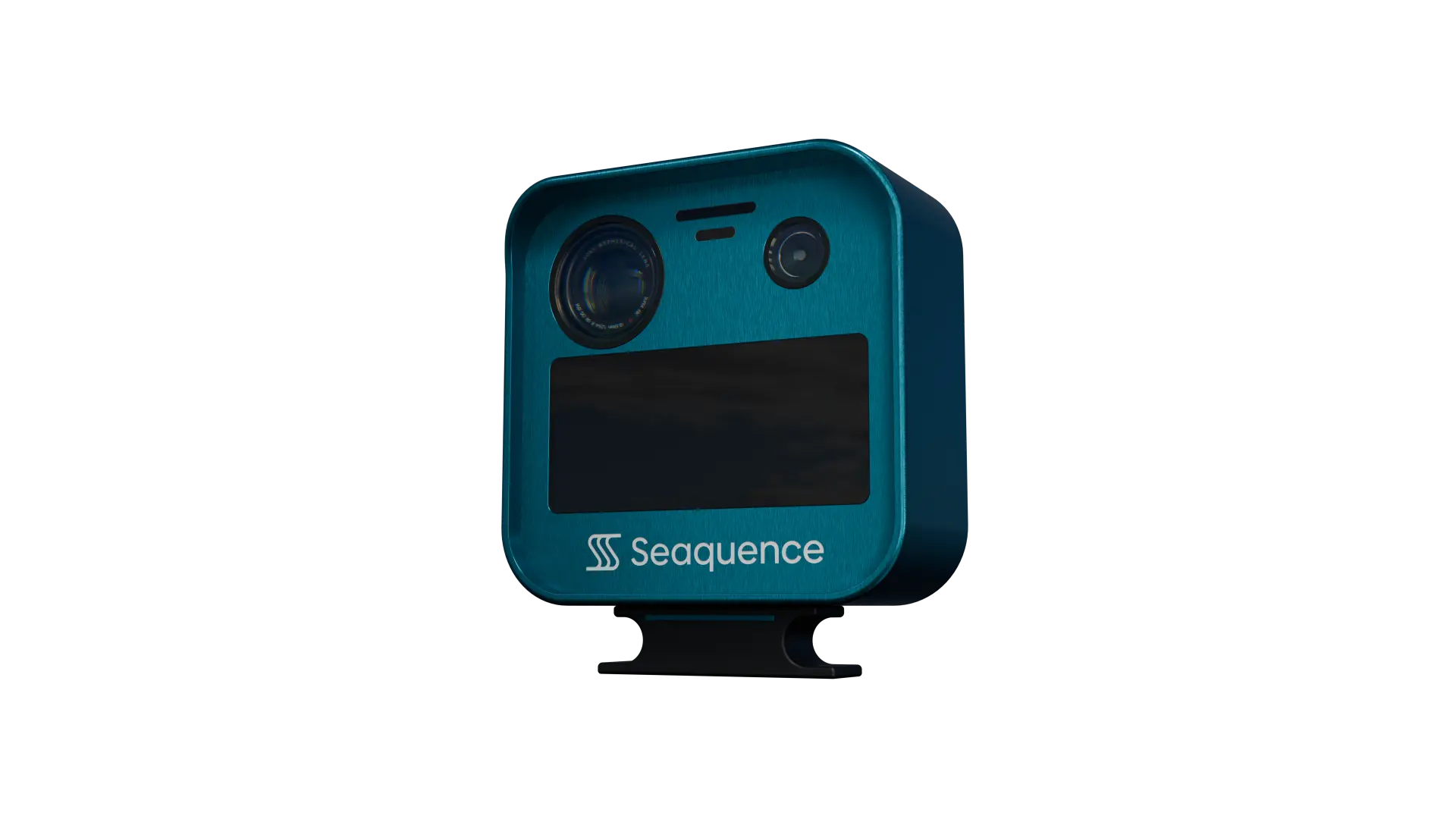
Sea4D on the structure gives four things an operator buys separately today: the sea state at the asset, the traffic approaching it, monitoring of the safety zone, and the record behind consents, warranty and charter claims. On a 15 MW turbine, each day of recovered output is worth about £12,500 to £16,000 at today’s strike price.
The 500 m safety zone sits inside the structure's direct zone, the sea within 1,000 m of it. Today the zone is watched by guard vessels, AIS and shore radar, and the MCA warns that turbines can mask small craft on a ship's radar. Sea4D monitors the safety zone and the sea within 1,000 m around it from the structure itself, including vessels that do not transmit AIS, and logs each contact it detects and tracks.
The MCA expects operators to monitor vessel traffic through construction and operation, and to evidence safety-zone infringements. Its guidance lists radar, AIS and CCTV among the means.
(MGN 654, paragraphs 4.15 and 6.6)
AIS data alone is not an appropriate traffic survey.
(MGN 654, paragraph 4.6)
Close to an array, turbines can produce reflected and side-lobe radar echoes that mask real targets, and suppressing them risks losing small craft.
(MGN 372 Amendment 1, paragraph 2.9)
After a cargo ship struck a turbine in the German North Sea in April 2023, Germany's federal investigator recommended radar surveillance and monitoring beyond the 500 m safety zone.
(BSU investigation report 192/23)
G+ and IMCA both share lessons from crew transfer vessels striking turbines.
(Energy Institute Toolbox; IMCA safety flash)
Every record supports the operator's ALARP demonstration: measured sea state, the contacts detected and tracked, and position integrity, logged as evidence for risk assessment and review.
Wave height alone does not decide an operation.
Most transfer and installation limits are written in terms of one significant wave height. Yet the same wave height can be workable for one operation and not for the next. What decides it is the period and direction of the waves, and whether a swell is running under the local wind sea. In one marine warranty surveyor's worked example, a jacket installation limit of 3 m at a 5-second period falls to 2 m at 6 seconds and 1.25 m at 7 seconds. An engineering study presented at WindEurope 2026 found limits set on total sea state alone inaccurate by between minus 50 and plus 100 per cent for an installation jack-up. Forecasts give the period for a grid point, often only to the nearest second. Sea4D is designed to measure wave height, period and direction at the boat landing, the gangway and the DP vessel, and wave spectra and other measurements are in development. The measurement reaches the go or no-go as live data, and where there is connectivity all data is backed up to the cloud for playback and audit.
Scott Marine Consultants, 2021; Calypso, WindEurope 2026.
Under the UN Convention on the Law of the Sea and IMO guidance, coastal states may set safety zones of up to 500 m around offshore installations and structures, from oil and gas platforms to wind turbines. In UK waters, the Energy Act 2004 lets a zone be declared around an offshore renewable installation during construction, major maintenance and decommissioning, and working vessels are given advisory clearances through Notices to Mariners. Sea4D monitors the zone from the structure or the vessel: approaches, infringements and the sea state, logged as the operator's record, with units combined for full-zone coverage.
From first foundation to full operation.
Weather-restricted operations.
DNV-ST-N001 reduces the operational limit for forecast uncertainty and allows a smaller reduction where site monitoring meets its accuracy and reliability requirements. Sea4D is designed to provide that monitoring at the point of work, with its accuracy verified in production trials, and the record goes to the marine warranty surveyor.
One unit, fitted to the working system: the lay chute, the launch and recovery system or the crane, as well as the vessel or the structure. Projected production-unit behaviour; to be verified in production trials.
Get in touch.
For further information, or to discuss working together, please contact us.